Profile
Advanced Navigation is a global leader in high-performance inertial navigation systems (INS), GNSS/INS solutions, and autonomous robotics technologies. Founded with a focus on precision navigation in challenging environments, the company develops advanced inertial, acoustic, and subsea solutions for defense, mining, subsea exploration, marine, aerospace, and industrial applications. Headquartered in Sydney, Australia, Advanced Navigation has earned a strong reputation for delivering reliable, high-accuracy systems that operate effectively even when GNSS signals are denied, degraded, or disrupted. The company recently secured a US$110 million Series C funding round to accelerate development of next-generation autonomous systems. Its products are trusted by leading organizations worldwide and are used in over 50 countries.
Advanced Navigation offers a comprehensive portfolio of navigation and robotics technologies, with a strong emphasis on integration into autonomous platforms.
Key Robot-Based and Autonomous Products:
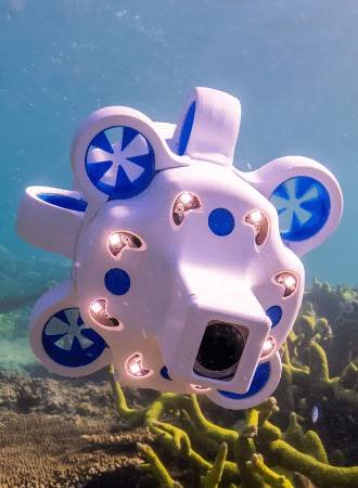
- Hydrus: A revolutionary micro autonomous underwater vehicle (AUV). This compact, intelligent subsea robot is designed for underwater inspections, surveys, and data collection. It features 4K video at 60 FPS, advanced navigation, long range (up to 2 km), and 3-hour endurance. Hydrus is ideal for subsea asset inspection, marine research, and defense applications, offering a cost-effective alternative to larger traditional AUVs.
- Subsonus: An acoustic positioning and communication system for underwater vehicles. It provides precise positioning (0.1 m accuracy) and supports integration with AUVs and ROVs for reliable subsea operations.
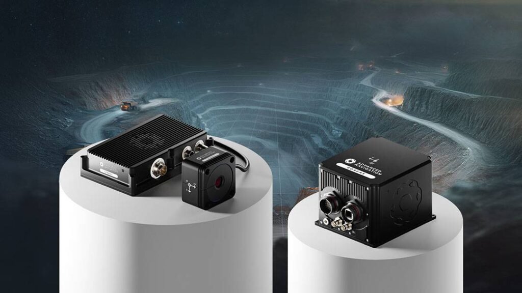
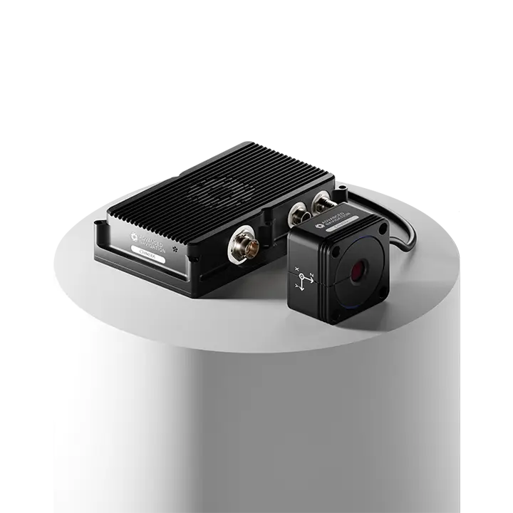
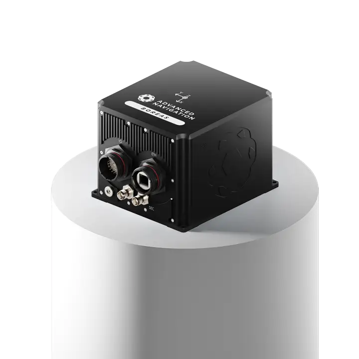
- Boreas Series (FOG INS): Ultra-high performance fiber optic gyro inertial navigation systems used in advanced autonomous platforms, including marine and subsea robotics. Models like Boreas A90 and D90 deliver exceptional accuracy in GNSS-denied environments.
- Certus Series (MEMS GNSS/INS): Compact, high-accuracy inertial systems widely integrated into ground, marine, and aerial robotic platforms for reliable positioning and orientation.
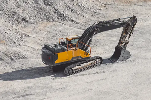
- Chimera Land: A 3D laser velocity sensor designed for underground mining and GNSS-denied environments, providing precise velocity updates to INS systems in robotic vehicles operating in tunnels or mines.
Advanced Navigation continues to innovate at the intersection of inertial navigation and robotics, supporting the development of more capable autonomous systems across sea, land, and air domains. Its solutions are known for exceptional reliability, rapid integration, and performance in the world’s most demanding environments.

Map
Sorry, no records were found. Please adjust your search criteria and try again.
Sorry, unable to load the Maps API.